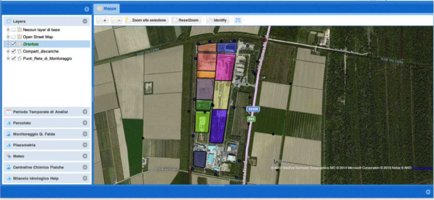
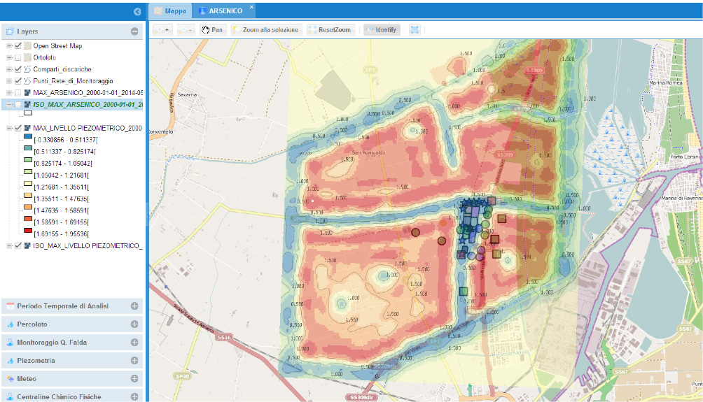
LandRISK is a cloud web-mapping DSS for data management, statistical analysis, near-real time hydro-geological modelling for assessing the groundwater quality and risk for human and environment related to a waste Landfill and contaminated sites.
LandRISK allows the contaminated site manager and the control Authorities to obtain real-time information about the status of the water quality at the monitoring points. In addition, the numerical models of groundwater flow are able to provide updated information on the hydrodynamic conditions on the site and possibly support the manager in the interpretation of potential violations of the limits of the guard at the monitoring points. The DSS is developed in a Web-GIS using open-source software (Open Layer) and is accessible through a common web-browser without the need to install specific software, the service is available on Cloud Amazon technology can provide computing power and adequate speed for the return to the user in real time.
LandRISK is developed as a cloud web-mapping services merging together the following elements:
- real-time acquisition of data from monitoring sensors for water quality and aquifer hydraulic head
- data-science, statistical and geostatistical analysis tools
- numerical hydrogeological model for flow and transport (FEFLOW 3D)
- hydrological water balance of the study area and for the landfill (HELP)
- human health and groundwater risk/exposure assessment models
- routines for spatial interpolation (Ordinary Kriging)
- statistical analysis for quantification of background values (USEPA)
- web reporting generation Open Source Web-GIS/mapping technology


